
A proactive groundwater and environmental mapping project that helped protect the Waikato River while guiding sustainable farm and water management decisions.
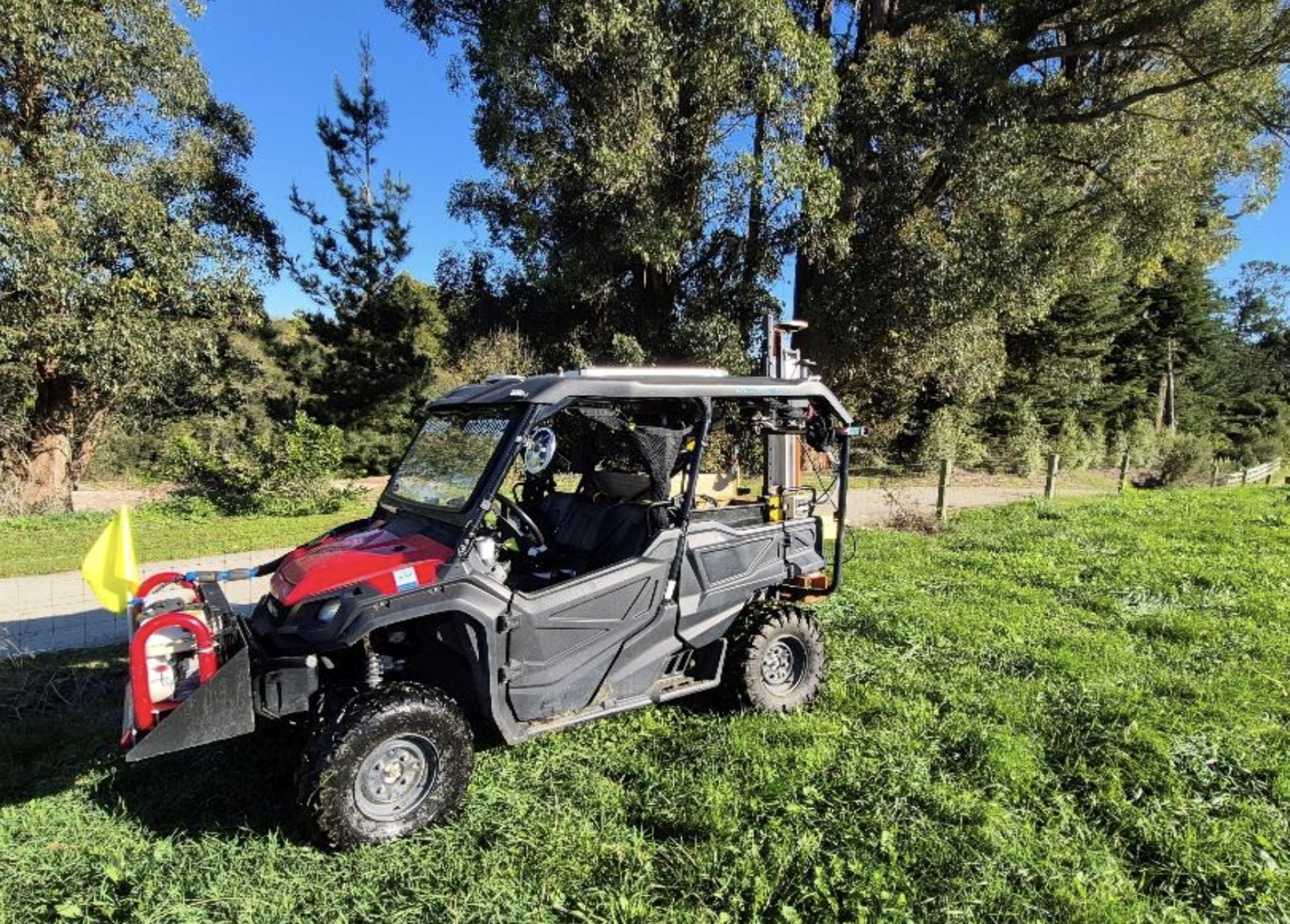
The Owl Farm in Cambridge, New Zealand — a highly intensive and well-managed dairy unit bordering the Waikato River — sought a deeper understanding of how groundwater moved beneath their property. With the Waikato River supplying drinking water to over one million people, the client wanted to proactively assess natural groundwater discharge into the river and understand subsurface flow rates. GeoVue’s subsurface mapping revealed shallow paleochannels (ancient river systems) so effluent spraying could be avoided in sensitive areas, reducing environmental risk. The survey also identified the size and thickness of underlying peat formations, providing insight into soil behaviour and hydrology. Finally, GeoVue data guided the placement and expected depth of a new production well, helping forecast sustainable yield before drilling began. The result was a clearer, science-backed understanding of water movement beneath the farm — supporting both environmental responsibility and operational efficiency.
Owl Farm Explained
“GeoVue gave us the clarity and confidence to protect our river, manage our land responsibly, and make smarter long-term water decisions”
- Owl Farm, Cambridge New Zealand